Poison Maps contains many types of routes, mainly associated with transport and leisure, although there are some associated with other categories, such as pedestrianised streets when shopping, or historic railways and roller coasters in the tourism category.
The transport routes include railway lines, colour-coded metro maps, bus routes, tram tracks, cable cars and ferry routes. This short video shows some of the 200+ metro maps contained in the app.
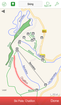
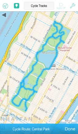
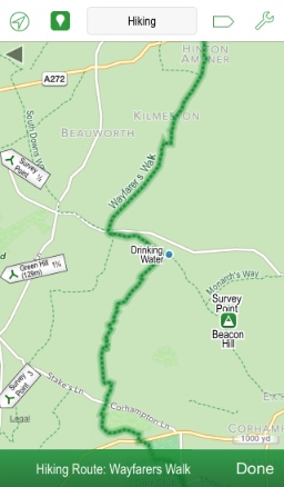
The leisure routes include ski pistes and lifts, hiking trails, cycle routes, mountain bike trails, raceways and much more!
|
|
|
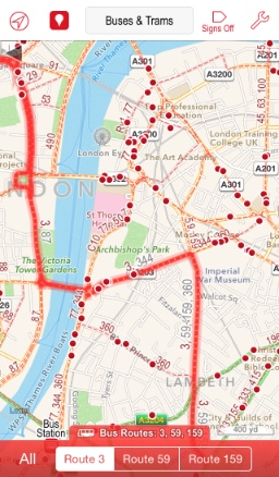
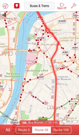
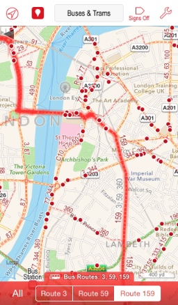
When a route segment is part of more than one route, then selecting it results in a choice of routes being shown below. You can then select one or all of the routes that pass through this segment. This is particularly useful for buses & trams, as shown below, but also works for all routes which have names, such as metro lines, hiking routes, cycling routes etc.
 |
 |
 |
| << POIs |
| Signs >> |