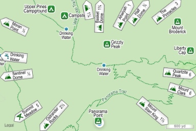
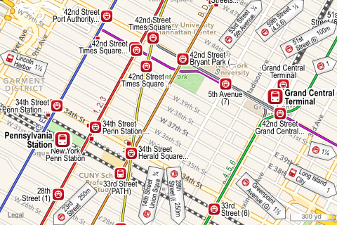
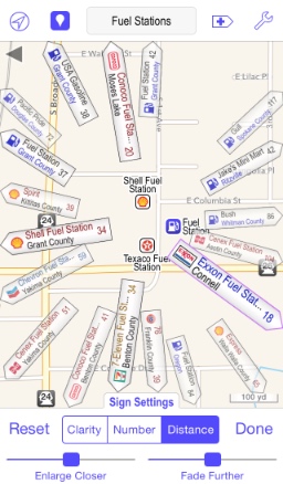
Poison Maps shows signs pointing to nearby POIs that are off the map. If you are looking at an area of the map with few or no POIs then signs will still show the direction and distance to other nearby POIs. Double tapping a sign pans the map to show the POI. Shaking the device or tapping the shuffle button gives a different selection of signs.
|
|
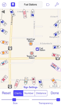
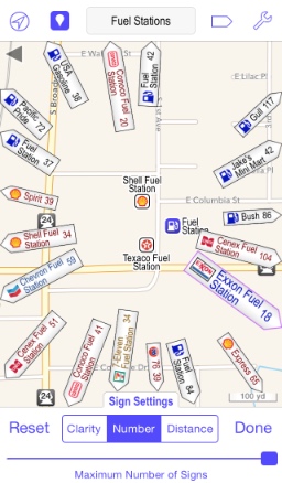
You can control the importance of the signs by tapping the sign button on the toolbar, which cycles through 4 states:
The large signs can obscure points and their size and opacity can be dependent upon the distance to the POI. They are useful when you see several signs of interest and you want to see where they point to quickly. The sign button enables this with one tap instead of individually selecting each sign to see its location.
The screenshots below show the different states as well as the sign toolbar at the bottom, which can be used for fine-tuning how the signs are displayed if you wish.
 |
 |
 |
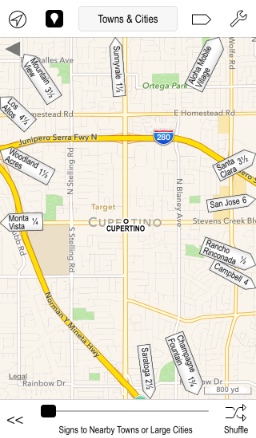
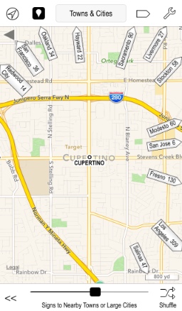
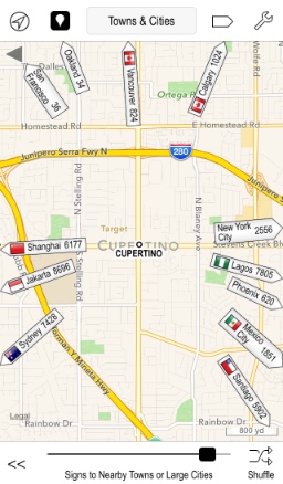
For POI types that have the concept of a size, such as towns and peaks, you can use the slider at the bottom to vary the signs shown between nearby POIs such as villages or hills, and large POIs such as faraway cities or mountains.
 |
 |
 |
| << Routes |
| Gestures >> |